TBTrembly BaldMOUNTAIN RETREATWebsite preview ↗
TB

Opening the mountain.

Loading terrain and cabins…

N ↑

Drag to look around · Scroll to zoom · Select a cabin

Working model
WHAT YOU’RE LOOKING AT

Trembly Bald.
Closer to the real place.

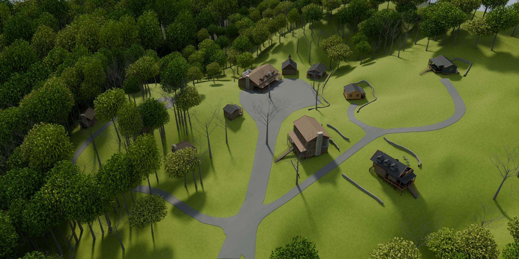
The hillside comes from 516 surveyed contour lines in your AutoCAD file. Building centers follow its footprints. Cabin rooms come from the supplied Polycam plans.

Version 3 brings the supplied aerial into the actual navigable world: open spring lawns, mixed leafy and bare woodland, smoother pavement, the central drive and shared parking court, and a photo-matched starting angle. The porches, stairs, cabin interiors and floor controls remain available.

Central paving, lawn edges and individual trees are visually estimated from the aerial. Distant woodland outside the drawing is context, not surveyed property. Door and stair registration, some floor alignment, porch dimensions, furniture and local foundation grading also remain estimates. The measured topographic coverage is about 14.8 acres, not the entire 125.62-acre property. This is a working reconstruction, not photogrammetry. Walkthroughs were reviewed as interval frames, not continuous playback.

Choose Photo view to return to the aerial, Arrival for the campus road or Start on the porch for a cabin entrance. Walk with W, A, S, D or the arrow keys; drag to look. Use the floor selector if an estimated stair connection does not lead where you expect. Escape returns to orbit. Lite mode reduces shadows and screen resolution.

View original site drawings ↗